
SEARCH

Project
Development of PROBA-V 100 m Vegetation Products
Project Duration: 1 June 2014–31 May 2016
Project Leader: Tatjana Veljanovski, PhD
Project
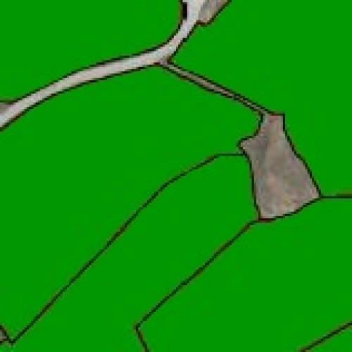
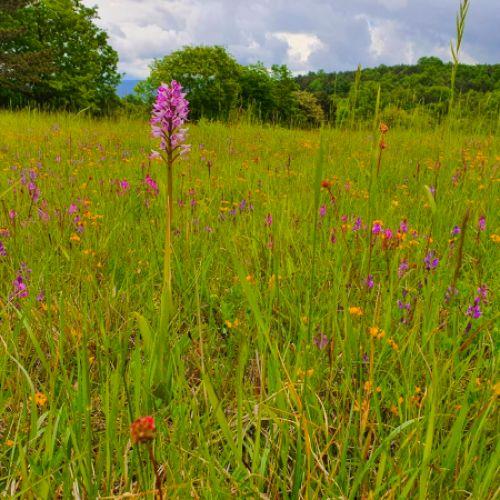
Feasibility study and mapping of grassland habitat types with remote sensing with emphasis on separation of intensive and extensive grasslands
Project Duration: 27 June 2019–30 September 2020
Project Leader: Tatjana Veljanovski, PhD
Project
Development of system for usage of remote sensing data (incl. feasibility study) – case study to monitor agricultural land (permanent grassland and soil wetness)
Project Duration: 6 August 2021–5 February 2023
Project Leader: Tatjana Veljanovski, PhD
Project
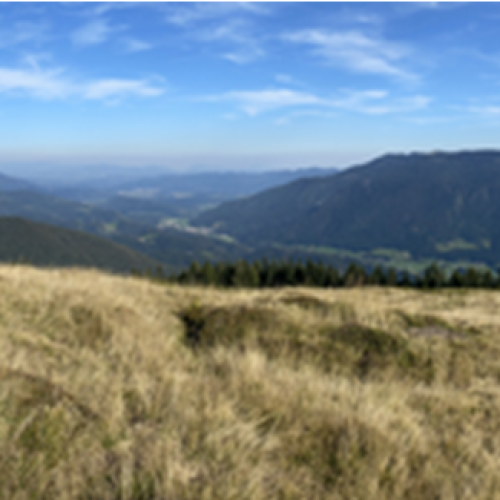
Testing the feasibility and implementation of remote sensing mapping of grassland habitat types with a focus on high-resolution satellite imagery and the differentiation of extensive grassland habitat types
Project Duration: 1 September 2024–30 November 2025
Project Leader: Tatjana Veljanovski
ARIS Project ID: 2560 – 24 – 310019

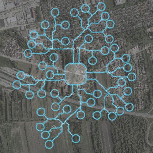
Project
Estimation of population within informal settlement Kibera (Nairobi, Kenya)
Project Duration: 1 January 2010

Project
Earth observation data fusion for forest mapping
Project Duration: 6 December 2024–6 June 2026

Project
Geospatial Information Technologies for Resilient and Sustainable Society (GeoAI)
Project Duration: 1 July 2025–30 June 2028
Project Leader: Anka Lisec, PhD